- Via Torquato Tasso 42, Piazza Brembana (BG)
- +39 0345 19 000 21
- info@milesigianluca.it

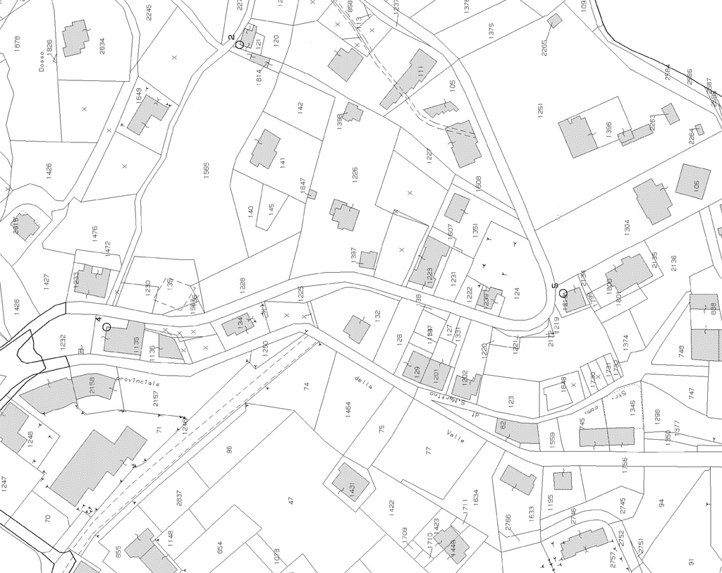
The extract of the map shows the position of the particle soils indicated by the holder. It is often useful to identify the location of the land knowing the title or the land registry.
With the help of surveying instruments, making high-precision measurements, which will be followed by the preparation of the drawings and practices needed to carry out precisely the service fractionation. The service is very useful in case of necessity of division of a plot in more parts for various purposes, or simply to be able to obtain a precise layout of the land of which you own.